WALKING TRACKS

The reserve corridor is a unique ribbon of forest, heath, swamp and grassland interlocked by walking trails and resting places.

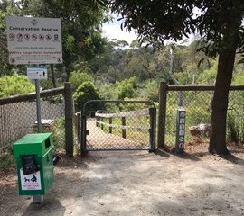
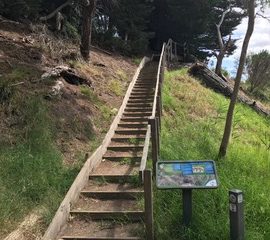
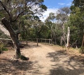
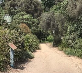
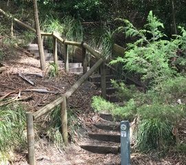
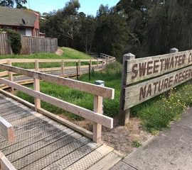
Stroll along the paths and boardwalks and enjoy views of the creek and bushland. Lookouts and seats are great resting places and several bridges provide safe creek crossings and add to the experience. Emergency markers are placed throughout the Reserve and provide a location check should the need arise. There are wooden staircases at several entry points and along the steeper parts of the tracks. Allow approximately 1 hour to complete a circuit of the area.

After 200 metres or so after the Liddesdale entrance, the walking track winds through the bush habitat by a series of steps and inclines to areas of grassy woodland.

Side tracks provide opportunities to explore and observe.

The main track takes walkers beside rock pools, across bridges, through an enclosure of native shrubbery and eventually onto a boardwalk.The boardwalk now winds through a corridor of melaleuca and wetland.

SWEETWATER CREEK NATURE RESERVE
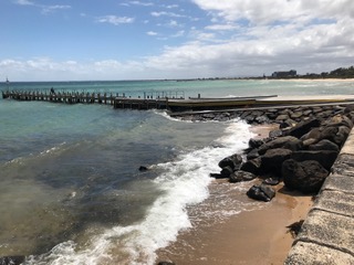
Sweetwater Creek Nature Reserve is located in Frankston, approximately 40 kilometres from Melbourne (Melway 102, A-7). The reserve is one kilometre south of Frankston’s commercial centre. It can be reached by train from the city (a little over one hour) and thence by bus numbers 781, 784, 785, or 788 at Frankston station. Ask to get off at Liddesdale Avenue.
Sweetwater Creek / Port Phillip Bay

Port Phillip Bay

The reserve creek is fed by runoff  from the surrounding areas and Frankston Reservoir, which is controlled by Parks Victoria. The reservoir is now open to the public but vehicle access is only open during daylight hours. The stream, which used to run through the area containing the reservoir, was diverted when the reservoir was built in 1922. This 90 hectare site has now been gazetted as a conservation reserve.
 
Sweetwater Creek discharges into Port Phillip Bay near the carpark and boat launching ramp, opposite the Liddesdale Avenue entrance. The only toilet facilities near the reserve are available in the car parking area.
Frankston Reservoir

Map of Sweetwater Creek Nature Reserve
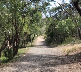
There are several entry points to the reserve apart from the one on Nepean Highway, at the foot of Olivers Hill.
Sweetwater Creek Nature Reserve adjoins the stream for its length from Kars Street to the Bay, varying in width from a few metres to a couple of hundred.The reserve is controlled and maintained by Frankston City Council and is open continously for public enjoyment.Copies of the reserve map are available from the Frankston City Council Tourist Information Center, located on the Nepean Highway near the Frankston Pier.
Lower Sweetwater Creek Reserve 2018 map